|
Armstrong Trail |
one moment while we fetch a trail picture
|
|
|
Armstrong Trail |
one moment while we fetch a trail picture
|
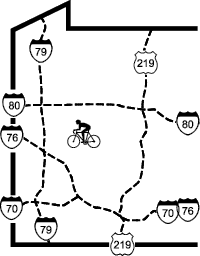
Vicinity North: Directions begin at the intersection of PA268 and Kittanning Hollow Rd. To reach this point from Pittsburgh, go northeast on PA28. At the PA28/US422 interchange, follow US422 west in the direction of W. Kittanning. After looping around the interchange, take the exit for PA268. Follow PA268 north for about 12 miles to Kittanning Hollow Rd. Turn right/north on Kittanning Hollow Rd.
Catfish (access to northern unconnected segment) trailhead: From vicinity north (intersection of PA268 and Kittanning Hollow Rd) turn right/north on Kittanning Hollow Rd and go 3.4 miles to PA68. Turn right/east on PA68. Follow PA68 about 2.8 miles, across the Allegheny River, into East Brady. PA68 is called Kellys Way and turns left/southeast as Third St in East Brady. After the left turn on 3rd St, continue following PA68 for 3.8 miles, climbing the knob around which Bradys Bend bends, to Sarah Furnace Rd/SR3006. Turn left/west on Sarah Furnace Rd and descend almost 2 miles. Where the road reaches the river, and makes a right turn to follow the river upstream, park on the left. From the parking area follow the road to the left/southeast about 1000 feet down to the old railroad grade. From here the closed tunnel entrance is another 0.9 miles to the left (downstream); a sharp right (upstream) provides about 4 miles of rough trail.
Bradys Bend (northern) trailhead: From vicinity north (intersection of PA268 and Kittanning Hollow Rd) turn right/north on Kittanning Hollow Rd and go 3.4 miles to PA68. Turn right/east on PA68. Follow PA68 about 1.9 miles to Seyertown Rd, just before the Allegheny River bridge. Turn left/northeast on Sebertown Rd, then right/southeast into the Pennsylvania Fish and Boat Commission access area. From here bike across the Allegheny River and immediately turn right/southwest on Water St. When it ends turn left/southeast on 4th St. Go 2 blocks to Purdum St and turn right/southwest. Go 2 blocks to the start of the trail.
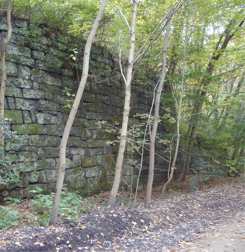
Monticello Iron Furnace
East Brady trailhead: From vicinity north (intersection of PA268 and Kittanning Hollow Rd) turn right/north on Kittanning Hollow Rd and go 3.4 miles to PA68. Turn right/east on PA68. Follow PA68 about 2.6 miles, across the Allegheny River, into East Brady. PA68 is called Kellys Way and then turns left/southeast as Third St in East Brady. After the left turn on to 3rd St, go 6 blocks (counting the alleys) and turn right/southwest on Robinson St. Go to the end of Robinson St and turn left/south on Shady Shores Dr. Go four blocks and turn right/west into sewer plant parking. The trail continues down the private road part of Shady Shore Dr, which allows bicyclist and hikers, but not cars.
Phillipston and Redbank Junction trailhead: It’s probably faster to park at East Brady and cycle to Phillipston (1.8 miles) and Redbank Junction (4.3 miles) than it is to drive up and down the mountain. To get to these access points you have to really want to get there. Take a GPS and a good map.
Vicinity South: Directions begin at the interchange of PA28 and US422, headed east on US422. To reach this point from Pittsburgh, go northeast on PA28.
Rimer trailhead: It’s probably faster to park at Templeton and cycle to Rimer (5.5 miles) than it is to drive up and down the mountain. To get to this access points you have to really want to get there. Take a GPS and a good map.
Templeton trailhead: From vicinity south (the interchange of PA28 and US422) continue on PA28/US422 and cross the Allegheny River and follow PA28. Go 5.5 miles from the river and at Rayburn turn left/north on Sloan Hill Rd/T576. Go 2.4 miles and turn right/north on SR1032. Go 0.4 miles and turn left/north on PA1031. Go 3.0 miles to 1st St in Templeton. Turn left/west on 1st St, then right/north on Allegheny Av. The entrance to the PA Fish and Boat Commission parking lot is half a block farther on the left.
Lock and Dam #8 trailhead: From vicinity south (the interchange of PA28 and US422) continue on PA28/US422 and cross the Allegheny River. Follow signs to Kittanning via Business US422. The ramp swings north and as the freeway transitions to a local road it becomes Water St. Go about a mile and turn right/northeast on Montieth St. Go to the “T” and turn left/northwest on Johnston Av. Go 4.4 miles and at the “T” intersection turn left/northwest continuing on SR1033, following signs to Lock and Dam 8. Go 1.9 miles, staying next to the river through a development of trailer homes, to the parking area next to the lock and dam. The last mile is one lane wide with only one place to pass, so be prepared to back up if someone is coming the other way.
Cowanshannock Junction/Gosford trailhead: MP 47.3 From vicinity south (the interchange of PA28 and US422) continue on PA28/US422 and cross the Allegheny River. Follow signs to Kittanning via Business US422. The ramp swings north and becomes Water St at a stoplight as the freeway transitions to a local road. At the stoplight, continue north on South Water St. Go 0.6 miles (about 4 blocks past the end of Kittanning Riverfront Park) and turn right/northeast on Chestnut St. Go 4 or 5 blocks to the “T” intersection with Johnston Av/SR1033 and turn left/northwest on Johnston Av. Go about 2.5 miles to the mouth of Cowanshannock Ck (this is Gosford). The Canfield-Holmes Sanctuary is on the right, labeled Bernard C Snyder Picnic area. There are good picnicking and a Fish and Boat Commission boat ramp here. This parking lot is also the western trailhead for the Cowanshannock Trail (page NE-109).
Coal company built houses in Templeton
Kittanning trailhead: From vicinity south (the interchange of PA28 and US422) continue on PA28/US422 and cross the Allegheny River. Follow signs to Kittanning via Business US422. The ramp swings north and becomes Water St at a stoplight as the freeway transitions to a local road. At the stoplight, continue north on South Water St for a quarter-mile, turn right/northeast into the parking lot for Kings Lanes bowling. The trail runs across the back of the lot; park near the trail.
Ford City trailhead: From vicinity south (the interchange of PA28 and US422) continue on PA28/US422 and cross the Allegheny River. Follow signs to PA66 south to Ford City. A mile after the end of the ramp, take the PA128 ramp right/southwest. Continue in PA128 to just after the last house on the right and before crossing the Allegheny River, there is a trail parking lot on the right.
Rosston (southern) trailhead: MP39.1 From vicinity south (the interchange of PA28 and US422) continue on PA28/US422 and cross the Allegheny River. Follow signs to PA66 south to Ford City. A mile after the end of the ramp, take the PA128 ramp right/southwest. Continue in PA128 to just before crossing the Allegheny River, go straight on Ross Av between the trail and the river. Continue 1 mile to the PA Fish and Boat Commission boat launching area just after Rosston and just before the trail crosses Crooked Ck.
Schenley Trailhead MP35.3 Coming soon. << Not yet available 2022>>